
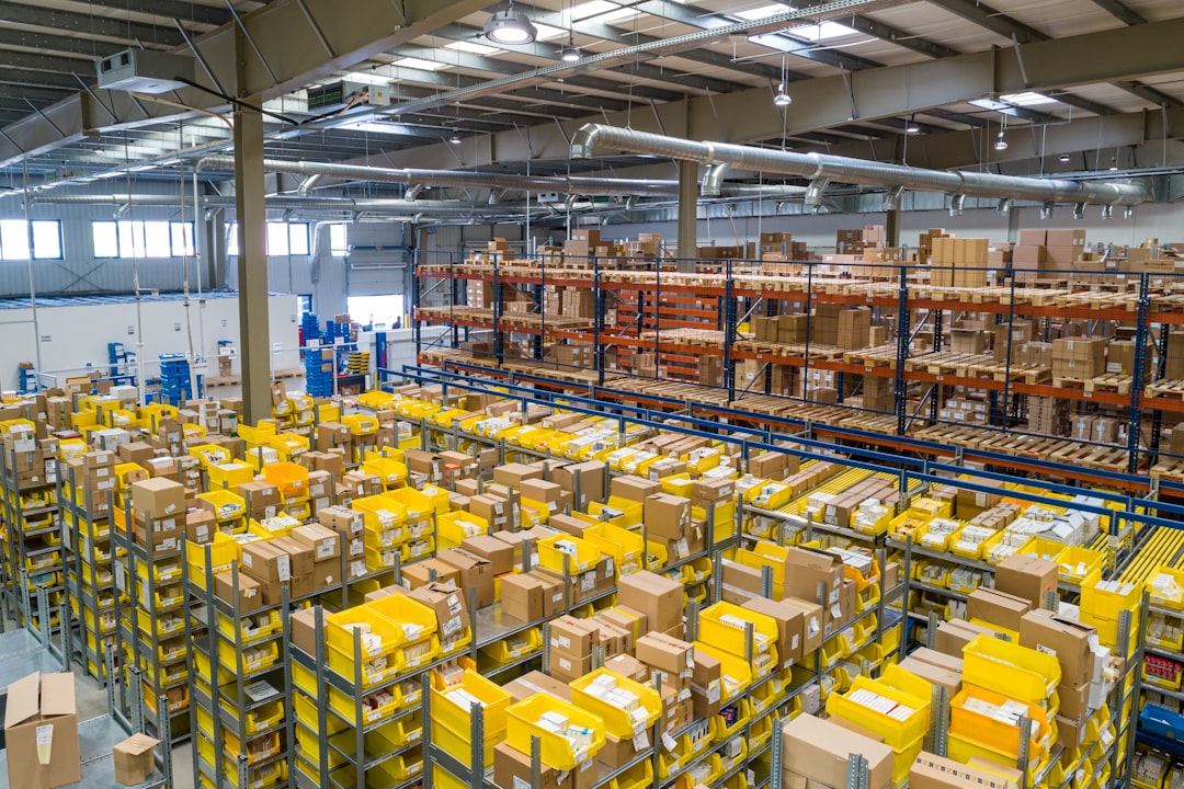
Imagine your robot is in a cave. Or your drone is inside a warehouse. Or your phone is in a subway tunnel. Suddenly, GPS goes silent. No satellites. No blue dot. No cheerful “turn left.” This is where GPS-denied navigation becomes the hero of the story.
TLDR: When GPS is not available, machines use smart algorithms to guess where they are and where they are going. The best ones mix data from cameras, lasers, motion sensors, maps, and radio signals. For example, a warehouse robot may use SLAM and an IMU to move within 5 to 10 centimeters of accuracy, even with no GPS at all. In real-world tests, sensor fusion can reduce location drift by more than 50% compared with using one sensor alone.
Why GPS Fails
GPS is great outdoors. It works well when your device can “see” satellites in the sky. But many places block or confuse those signals.
- Indoors: walls and roofs block satellites.
- Underground: tunnels and mines are GPS black holes.
- Urban canyons: tall buildings bounce signals around.
- Forests: thick trees weaken signals.
- Battlefields: GPS can be jammed or spoofed.
So machines need other ways to find themselves. Think of it like being blindfolded in a room. You can still move by counting steps, touching walls, hearing sounds, and remembering the layout. Robots do something similar. Just with math.
1. SLAM: The Robot Cartographer
SLAM means Simultaneous Localization and Mapping. That sounds fancy. But the idea is simple. A robot builds a map while also finding its place on that map.
It is like walking into a dark house with a flashlight. You see a sofa. Then a table. Then a door. As you move, you slowly build a mental map. You also use that map to know where you are.
There are several types of SLAM:
- Visual SLAM: uses cameras.
- LiDAR SLAM: uses laser scanners.
- RGBD SLAM: uses cameras that can sense depth.
LiDAR SLAM is very popular for robots and self-driving systems. It sends out laser beams and measures how long they take to return. This creates a 3D picture of the world. It works well in factories, mines, and city streets.
Visual SLAM is cheaper. Cameras are small and light. Drones love them. The downside is that cameras need light and clear views. Smoke, dust, darkness, or blank white walls can make them confused.
2. Kalman Filters: The Smooth Talkers
The Kalman filter is one of the most famous algorithms in navigation. It is like a calm friend who says, “Let’s not panic. Let’s combine all the clues.”
A sensor may say the robot moved 1 meter. Another sensor may say 1.2 meters. The Kalman filter blends these guesses. It also considers how noisy each sensor is. The result is a cleaner estimate.
There are many versions:
- Kalman Filter: best for simple linear systems.
- Extended Kalman Filter: works with curved, messy motion.
- Unscented Kalman Filter: handles even more complex motion.
In GPS-denied navigation, Kalman filters often combine data from:
- IMUs
- wheel encoders
- cameras
- barometers
- magnetometers
This is called sensor fusion. It is the navigation version of teamwork.
3. Particle Filters: Tiny Guessing Armies
A particle filter uses many small guesses. Each “particle” is a possible location. Some guesses are good. Some are silly. The algorithm keeps the good ones and removes the bad ones.
Imagine dropping 1,000 tiny robot ghosts into a map. Each ghost says, “Maybe I am here.” As real sensor data comes in, the wrong ghosts disappear. The right ghosts survive. Soon, the robot has a strong idea of where it is.
Particle filters are great when things are uncertain. They are helpful in tricky indoor spaces. They also work well when a robot may be in one of many possible places.
The downside is that they can be heavy on computing power. More particles mean better guesses, but also more work.

4. Inertial Navigation: Dead Reckoning With Style
Inertial navigation uses motion sensors. The main tool is an IMU, or inertial measurement unit. It measures acceleration and rotation.
This lets a device estimate movement without outside signals. It can say, “I turned right. I moved forward. I tilted down.” Very handy.
But there is a catch. IMUs drift. Tiny errors build up over time. After a few minutes, the system may think it is in the kitchen when it is actually in the garage.
That is why inertial navigation is often paired with other algorithms. On its own, it is fast. With SLAM or Kalman filtering, it becomes much smarter.
5. Visual Odometry: Follow the Moving Picture
Visual odometry uses camera images to track motion. It compares one video frame to the next. If objects in the image move left, maybe the camera moved right. If they grow larger, maybe the camera moved closer.
This works a bit like how your brain understands motion while walking. You see the world shift around you. Your brain says, “Aha, I am moving.”
Visual odometry is useful for:
- drones
- rovers
- AR headsets
- robots in buildings
It is light, cheap, and powerful. But it can struggle in low light. It also needs visible features. A plain empty hallway is boring for humans and confusing for algorithms.
6. LiDAR Odometry: Laser Footprints
LiDAR odometry tracks movement using laser scans. It compares one scan to the next and finds how the sensor moved. It is very accurate in many 3D spaces.
It is common in autonomous vehicles and industrial robots. It can work in the dark. It does not care much about shadows. It loves structure, corners, walls, and objects.
However, LiDAR sensors can be expensive. They can also struggle in heavy rain, fog, or dust. Still, for many GPS-denied missions, LiDAR is a superstar.
7. Graph-Based Optimization: The Big Puzzle Solver
Graph-based optimization is used in many modern SLAM systems. It treats navigation like a puzzle.
Each robot position is a node. Each movement or measurement is a connection. The algorithm adjusts the whole graph to make everything fit better.
This is especially useful when the robot returns to a place it has seen before. This is called loop closure. It is a big deal.
For example, a robot may drive around a warehouse and return to the entrance. If its map has drifted, the entrance may appear in the wrong place. Loop closure says, “Wait. We have been here before.” Then the map gets corrected.

8. Radio-Based Localization: Invisible Breadcrumbs
Some systems use radio signals instead of GPS. These can include WiFi, Bluetooth, UWB, and RFID.
UWB, or ultra-wideband, is especially good indoors. It measures distances very precisely. With several fixed beacons, a robot can find its position. In some setups, UWB can reach 10 to 30 centimeter accuracy.
WiFi is more common but less precise. Bluetooth is cheap and useful for simple indoor tracking. RFID works well for checkpoints and inventory systems.
Radio methods are great when you can install beacons. But they are less useful in unknown places, like disaster zones or caves.
9. AI and Deep Learning: The Pattern Wizard
AI is becoming more important in GPS-denied navigation. Neural networks can recognize places, match images, detect objects, and improve sensor fusion.
For example, an AI model can look at a camera image and say, “This looks like the same hallway from five minutes ago.” That helps with localization.
AI can also learn how sensors behave in different environments. It can help reduce drift. It can detect when a sensor is lying. That is useful, because sensors can be drama queens.
Still, AI needs training data. It can also fail in new environments. So it is often used with classic algorithms, not instead of them.
Which Algorithm Is Best?
There is no single winner. The best algorithm depends on the mission.
- For drones: visual odometry, Visual SLAM, and IMU fusion.
- For warehouse robots: LiDAR SLAM, UWB, and Kalman filters.
- For underground mining: LiDAR SLAM and inertial navigation.
- For AR headsets: Visual SLAM and AI place recognition.
- For military use: sensor fusion, inertial systems, and anti-jam methods.
The real magic comes from combining methods. A camera sees texture. A LiDAR sees shape. An IMU feels motion. UWB gives distance. A Kalman filter blends the clues. SLAM builds the map. Together, they form a smart navigation team.
Final Thoughts
GPS-denied navigation is not about one magic sensor. It is about teamwork. The best systems use SLAM, Kalman filters, particle filters, odometry, radio signals, and sometimes AI.
It may sound complex. But the goal is simple. Help machines answer three questions: Where am I? Where have I been? Where should I go next?
When GPS disappears, these algorithms keep the adventure going. No satellites? No problem. The robot has a plan.